The day before our trip I made a rack bicycle mount.
Our house in Amani! New lawn by the guy who lives there.
Looking towards our place on ride on day two.
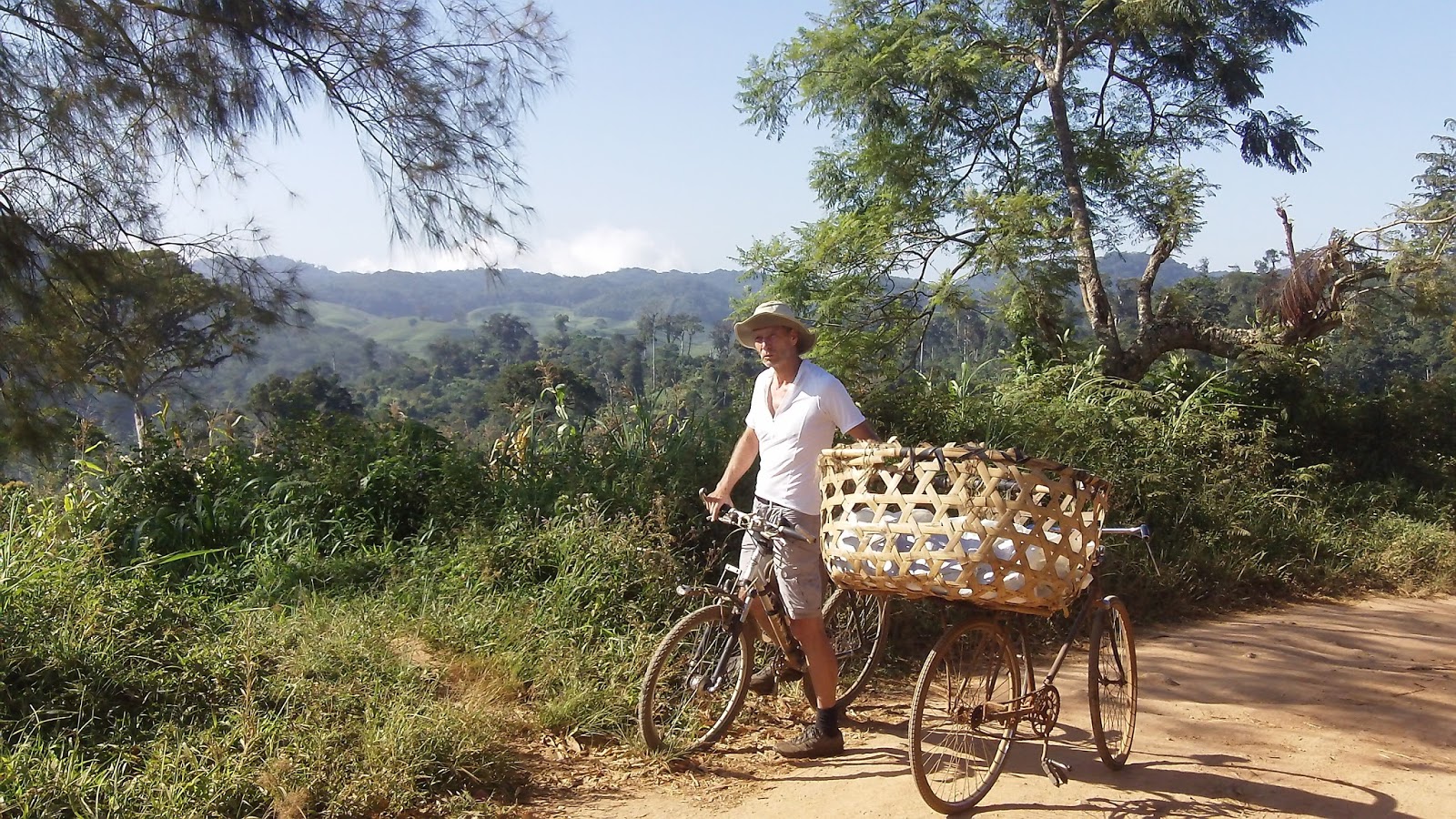
Fellow biker took my picture.
One morning
Too much tea plantations.
Past Ndola I passed through a swamp and then rode along these bare hills
After narrow foot path joined this road
View looking down to Korogwe 800m below
Looking at Usambara Mtns, Bumbuli area.
wide trail. I think a vehicle could pass


Trails look drier than when you took Diane and I. Diane drove down scary, muddy roads while you biked. How do you know where you are and how to get back? I don't imagine AAA has up to date maps of trails! :-)
ReplyDeleteIt was wet when you were there.
DeleteHow do I know where I am and how to get back?
Good question but you forgot the first part:
"How do I know where I am going?" as I rarely know and google maps only shows major villages. I this area I am leaving only knowing a general idea where and what i want to do.
I have learned to use gps and tracking and google maps. That means at least i can backtrack. But all of the trails and roads are not tracked on google maps or visible on satelite view. So
I stopped being shy and talk to people about what is up ahead , how to get to there, what is the name of this area. Sometimes I ask even if i know where I am going, or i think I know where I am going. On the second day i rode with a cyclist and he showed me another way to get to the guest house.